
Tip of Borneo
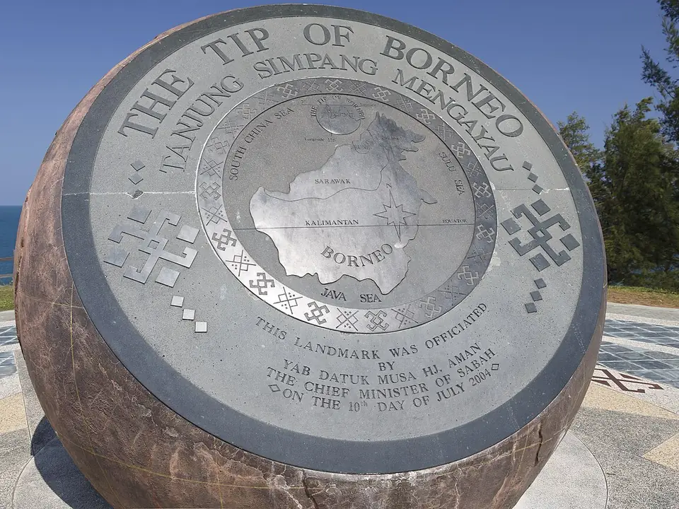
Photo: CEphoto, Uwe Aranas · CC BY-SA 3.0 · Wikimedia Commons (cropped and toned)
The northern tip of the island, near Kudat, where the South China Sea meets the Sulu Sea. Best at sunset.
Visitor guide
Getting there
At the tip of the Kudat Peninsula, about 215 km or three and a half hours’ drive from Kota Kinabalu. Sabah Tourism lists taxi, self-drive or a tour.
What to do
- Walk to the flagpole, the Globe and the rocky point that marks the tip, where the South China Sea meets the Sulu Sea.
- Stroll along Pantai Kalampunian, a long white beach, and see the Pulau Kalampunian lighthouse.
- Come for the sunset; Sabah Tourism also names the full moon.
The weather here
The sunset is the reason most people come, so the cloud forecast for the evening matters more than the rain total. It is an exposed headland: wind, glare and sudden showers are all common. Leave enough time to drive back before dark.
Good to know
- The site was closed for upgrading from January 2022; the plans included walkways, a viewing platform and an information centre. Sabah Tourism lists a café, a souvenir shop and washrooms: check what is open before you go.
Checked on 30 September 2026 against: Sabah Tourism Board · Sabah Tourism Board: upgrade notice
Tip of Borneo weather forecast in words
The weather forecast for the coming days is shown above.
Plan the trip
Kudat: weather forecast, smoke forecast and outage notices →Link to this page
Writing about this place or town? Copy this link: